Big Four Mine in California: The Ultimate Road Trip Guide
Big Four Mine is an abandoned mine located in Inyo County, in the U.S. state of California. It’s one of the challenging backcountry roads in Death Valley National Park.
Where is Big Four Mine?
Located in the eastern central part of California, this mine, also known as War Eagle Mine, was primarily a lead/zinc mine with silver, gold, and copper as secondary metals. It was active in the 1940s and into the 1950s.
Is the road to Big Four Mine unpaved?
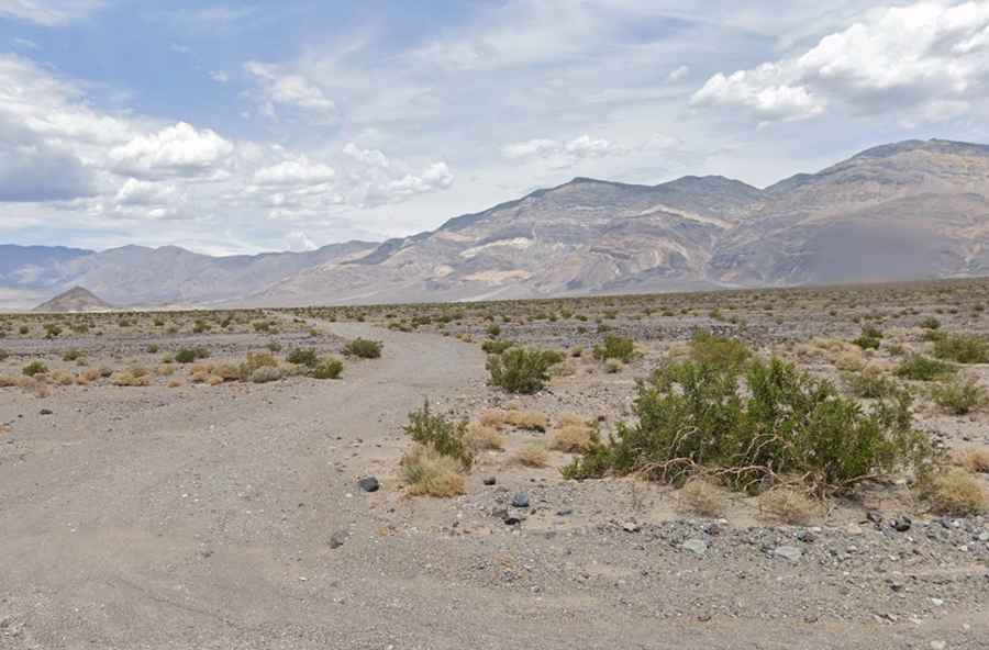
The road to this abandoned mine is completely unpaved and is known as Lake Hill Road. The first five miles of the trail are made up of easily passable washboard roads, but the last mile to the mine site becomes far more challenging, requiring a high-clearance 4×4 vehicle. Some vans and SUVs can carefully navigate the 6 miles of bumpy dirt road to the Panamint Dunes hiking pull-off.
How long is the road to Big Four Mine?
The road is 10.94 km (6.8 miles) long, running north of Highway 190 along the east bank of Panamint Dry Lake. It’s nearly flat, with an elevation gain of 199 meters and an average gradient of 1.81%.
Is the road to Big Four Mine worth the drive?
It’s a very exciting drive through the Western Death Valley National Park in Panamint Valley, providing access for hikers to Panamint Dunes. Avoid travel during mid-day hours and do not underestimate heat and sun exposure.