Driving the Furnace Creek Road in Death Valley NP
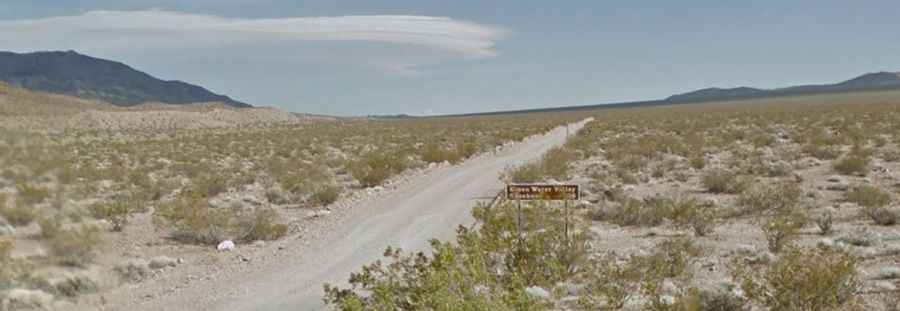
Furnace Creek Road is a very exciting desert drive located in Inyo County, in the US state of California. A high-clearance vehicle is required. Due to frequent flooding in the area, road conditions often vary. It’s one of the challenging backcountry roads in Death Valley National Park.
Where is the Furnace Creek Road?
The road is located in the eastern-central part of California, near the Nevada border, within Death Valley National Park. Once bustling during mining booms, little remains of the ghost towns of Furnace and Greenwater, which are accessible via side roads. A rough, dead-end road to Gold Valley (4x4 required) leads off to the west, 17 miles from the north end.
How long is the Furnace Creek Road?
The road is totally unpaved. It’s 45.54km (28.3 miles) long, running north-south from Dantes View Road to CA-178 (Jubilee Pass Road). It is a quiet, gradual dirt road. High-clearance vehicles are required. The road features steep sections, and tops out at 1,238m (4,061ft) above sea level.
Can I drive Furnace Creek Road in the summer?
The middle months, from May through October, can be brutally hot. So, it’s better to avoid it during that time.