Adventure Along Trail Canyon Road in Death Valley NP
Trail Canyon Road is a very exciting desert drive located in Inyo County, in the U.S. state of California. It’s one of the challenging Backcountry roads in the Death Valley National Park.
Where is Trail Canyon Road?
The road is located in the eastern central part of California, in the heart of Death Valley National Park.
Is Trail Canyon Road Unpaved?
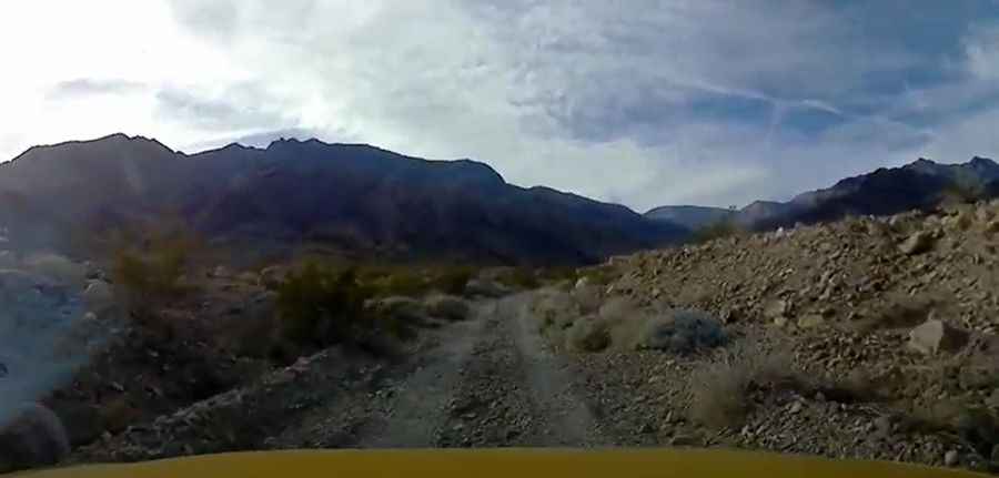
The road is completely unpaved, with some narrow sections. Passage is slow due to many large rocks. The road leads to a spring and an old mining area at the forks of the canyon. After entering the wash, the first side canyon on your left (south) offers a nice short hike.
How Long is Trail Canyon Road?
Starting from West Side Road, the road is 17.21 km (10.7 miles) long. Although some old maps show the road connecting with Aguereberry Point Road, that section was officially closed to vehicle traffic after a washout made it impassable.
Can I Drive My Vehicle on Trail Canyon Road?
A high-clearance 2WD vehicle is required for the first 4 miles to the top of the alluvial fan, followed by a high-clearance 4WD for the last 5.5 miles. Remember, scorpions, rattlesnakes, and black widow spiders live here.
Pic&video: Mark Bristol