Conquering the Cottonwood Canyon Road in Death Valley NP
Cottonwood Canyon Road is an exciting desert drive located in Inyo County, in the U.S. state of California. Be aware that it’s highly susceptible to washouts after precipitation events. It’s one of the challenging backcountry roads in Death Valley National Park.
Where is Cottonwood Canyon?
The canyon is located in the eastern-central part of California, in the northern section of Death Valley National Park. Cottonwood Canyon is named for the tree-lined stream beyond the road’s end. Hikers can also explore the winding narrows in Marble Canyon, a tributary. The Marble Canyon spur road is marked by a metal post about 2 miles above the drop into Cottonwood Wash and ends at the first narrows.
Is the road through Cottonwood Canyon unpaved?
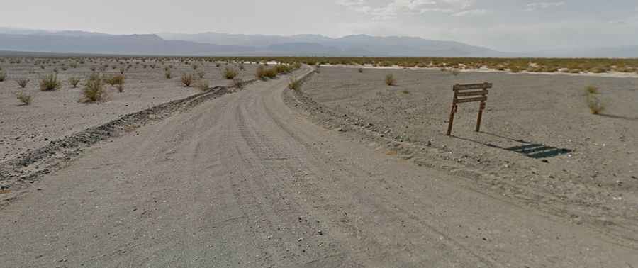
The dirt road is completely unpaved. A high-clearance vehicle is required for the first 8 miles due to sand, washboard, and rocks. Beyond that point, a 4x4 vehicle is necessary due to deep sand, rocky washes, tight corners, and small boulders. The final 1.5 miles are often washed out.
How long is Cottonwood Canyon Road?
The primitive road is 30.57 km (19 miles) long, starting at Stovepipe Wells and running deep into the Cottonwood Mountains.
How challenging is Cottonwood Canyon Road after rains?
This road is very susceptible to washouts after precipitation events. Due to frequent flooding in the area, road conditions can vary significantly throughout the park. For the most up-to-date information on road conditions, visit Death Valley’s website at nps.gov/deva.