How to drive the Echo Canyon Road to Inyo Mine in the Death Valley NP
Echo Canyon Road is a very exciting drive in Inyo County, in the U.S. state of California. It’s one of the challenging backcountry roads in Death Valley National Park.
Where is the Echo Canyon Road?
The trail is located in the central part of Death Valley National Park in eastern-central California, within the Funeral Mountains.
How long is the Echo Canyon Road?
The road is 16km (10 miles) long, running from the paved CA-190 to the Inyo Mine Camp at the end of the road. The mine has old structures and remnants of mining equipment, including a mill, residential structures, and a powder magazine.
How challenging is the Echo Canyon Road?
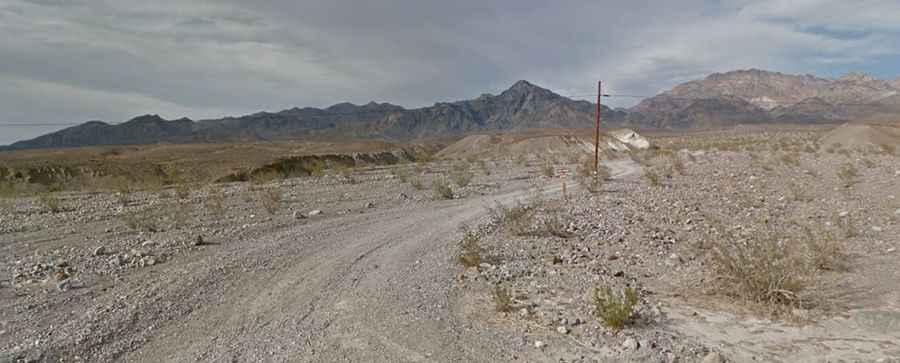
High-clearance vehicles are required for the first 3 miles, and 4x4 is required beyond that. The road tends to have deep gravel and is quite rocky 3 miles from the highway. There are small patches of loose gravel in the narrows, but the road generally is in good condition. Due to frequent flooding in the area, road conditions often vary throughout the park. The road is very steep, with an elevation gain of 1009 m; the average gradient is 6.30%. For the most up-to-date information on road conditions, visit Death Valley’s website at nps.gov/deva.
Is the Echo Canyon Road worth it?
Remember to bring your camera and ensure you leave enough time to make plenty of stops along the way. The Needle’s Eye, a natural arch, is located within the canyon narrows. A side road to the left climbs over a small saddle and eventually leads to Amargosa Valley, but it is very rough, requiring a short wheelbase 4x4 and an experienced driver.