A Memorable Road to Daylight Pass in Death Valley
Daylight Pass is a high mountain pass at an elevation of 1,316m (4,317ft) above sea level, located in Inyo County, in the U.S. state of California.
Where is Daylight Pass?
The pass is located in the eastern central part of California, between the Funeral Mountains and the Grapevine Mountains, near the Arizona border, in Death Valley National Park. The road to the summit offers stunning views: literally, every road turn has different views. There are plenty of stop-off points so that you can take photos.
Is the road to Daylight Pass paved?
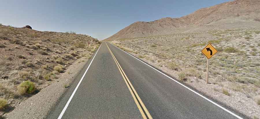
The road to the summit is totally paved. It’s called Daylight Pass Road (Highway 374). It’s a narrow two-lane road with zero shoulder, so remember to slow down through curves. Take care in the summer when the average temperatures range from 101-116 between May and September. It’s steep in parts, hitting a 7.4% maximum gradient through some of the ramps.
How long is the road to Daylight Pass in California?
The pass is 54.39km (33.8 miles) long, running from Beatty (a town along the Amargosa River in Nye County in Nevada) to Stovepipe Wells (a way-station in Inyo County in California).