How to drive the unpaved road to Tray Gap in Georgia?
Tray Gap is a mountain pass at an elevation of 1.171m (3,841ft) above sea level, located in White County, in the US state of Georgia. Beauty and isolation are what you will find here.
Where is Tray Gap?
Set high in the Blue Ridge Mountains, the pass is located in the northern part of Georgia, within the Chattahoochee-Oconee National Forests. At the summit there’s a small parking lot.
Is the road to Tray Gap unpaved?
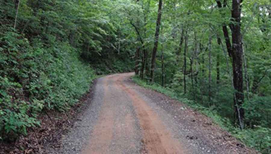
The road to the summit is a gravel forest service road. It’s called Tray Mountain Road, or Tray (commonly misspelled as Trey) Mountain as most local calls it. A 4x4 vehicle is required.
How long is the road to Tray Gap?
Starting from Scorpion Hollow, the road to the summit is 12.55km (7.8 miles) long. Over this distance, the elevation gain is 729m (2,395 ft) and the average gradient is 5.80%.
Pic: bluesrocket1