A memorable road trip to Goldstone Pass on the Idaho-Montana border
Goldstone Pass is a high mountain pass at an elevation of 2,774 m (9,101 ft) above sea level, located on the Idaho-Montana border, in the USA.
Where is Goldstone Pass?
The pass is located on the border between Lemhi County (Idaho) and Beaverhead County (Montana), within the Salmon-Challis National Forest.
Is the road to Goldstone Pass unpaved?
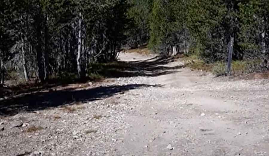
The road to the summit is totally unpaved. A 4x4 vehicle is recommended. It’s called Goldstone Road (in Montana) and Pratt Creek Road (in Idaho). It's one of the highest roads in Idaho.
How steep is Goldstone Pass?
The road is pretty steep. Starting at Bloody Dick Road, the ascent is 5.63 km (3.5 miles) long, with an elevation gain of 444 meters. The average gradient is 7.88%, hitting a 10.6% maximum gradient through some of the ramps. Along the way, you’ll find abandoned mining equipment.
Is Goldstone Pass open in winter?
Set high in the Beaverheads, the pass is usually impassable from late May through early November.
Pic&video: worldcyclists