How to drive the unpaved road to Bull of the Woods Pass in Montana
Bull of the Woods Pass is a high mountain pass at an elevation of 3.010m (9,875ft) above sea level, located in Park County, in the US state of Montana. It's one of the highest roads of Montana.
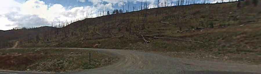
Where is Bull of the Woods Pass?
The pass is located south of Fisher Mountain, in the southern part of Montana, near the Wyoming border, within the Custer Gallatin National Forest.
Is the road to Bull of the Woods Pass unpaved?
The road to the summit is totally unpaved and rough, and a high-clearance, four-wheel-drive vehicle is required. It’s an old mining road. 4x4 vehicles only.
How long is the road to Bull of the Woods Pass?
Starting from Daisy Pass Trail Road, the road to the summit is 840 km long. Over this distance, the elevation gain is 86 m and the average gradient is 10.23%.
Is the road to Bull of the Woods Pass open year-round?
Set high in Absaroka-Beartooth Mountains, the road is not plowed in winters and usually impassable from November to May.