A paved road to the historic Battle Pass in Wyoming
Battle Pass is a high mountain pass at an elevation of 3,038 m (9,967 ft) above sea level, located in Carbon County, in the U.S. state of Wyoming.
Where is Battle Pass in Wyoming?
The pass is located west of Encampment, in the southern part of Wyoming, near the Colorado border, within the Medicine Bow National Forest.
Why is it called Battle Pass?
The pass is named after a famous battle between Indians and fur trappers in 1841.
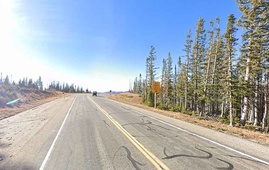
Is the road to Battle Pass paved?
The road to the summit is totally paved. It’s called Wyoming Highway 70 (Battle Highway Scenic Highway). Traffic is light, and wide shoulders make this an excellent bicycle route as well.
How long is the road to Battle Pass?
The curvy road is 92.05 km (57.2 miles) long, running west-east from Baggs to Encampment.
How long does it take to drive through Battle Pass?
Plan 1 hr 20 min to complete the drive without any stops. The drive is scenic and takes you through the ghost mining town of Battle. Many abandoned structures are still standing.
Is the road to Battle Pass open?
Set high in the Sierra Madre Mountains, the winding road to the summit is closed from November through April.