How to drive to Cerro Summit in Colorado?
Cerro Summit is a high mountain pass at an elevation of 2,451 m (8,042 ft) above sea level, located in Montrose County, in the US state of Colorado.
Where is Cerro Summit?
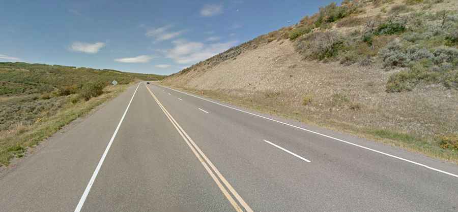
The pass is located east of Montrose, in the western part of Colorado. The landscape is wild, hilly, and dominated by the mountain shrub plant community, open sage flats, and grasslands. Wildlife such as elk and deer frequent the area; black bears have been seen on occasion.
Is Cerro Summit paved?
The road through the pass is fully paved and in very good condition, with a few steep sections. It’s called U.S. Route 50. It’s usually open year-round, though some short closures in winter are common.
How long is Cerro Summit?
The pass is 30 km (18.6 miles) long, running west from Montrose (the county seat and the most populous municipality in Montrose County) to Cimarron.