How to get by car to South Baldy in New Mexico?
South Baldy is a high mountain peak at an elevation of 3,288 m (10,789 ft) above sea level, located in Socorro County, in the U.S. state of New Mexico. Driving up there through a narrow unpaved road is a bit scary. It’s one of the highest roads in New Mexico.
Where is South Baldy?
The peak is located south of Magdalena, in the central part of New Mexico, within the Cibola National Forest.
What’s at the summit of South Baldy?
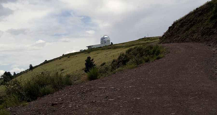
Near the summit are two observatories: Langmuir Laboratory for Atmospheric Research and Magdalena Ridge Observatory (MRO). The scenery from the top is just breathtaking.
Is the road to South Baldy unpaved?
The road to the summit is totally unpaved. It’s called Forest Road 235.
How challenging is the road to South Baldy?
It’s a rocky single-lane, near-vertical slope-hugging mountain road not for the faint of heart. It’s usually passable for a rugged sedan if you drive slowly, though the traction of a four-wheel drive vehicle may make all the difference, even in the summer.
How long is the road to South Baldy?
The road to the summit is very steep, hitting a 13% maximum gradient through some of the ramps. Starting at the paved US-60, the ascent is 20.59 km (12.8 miles) long. Over this distance, the elevation gain is 1,431 meters. The average gradient is 6.94%.
Is the road to South Baldy open in winter?
Set high in the Magdalena Mountains, the road is usually impassable in winter. At this elevation, it’s the highest peak of Socorro County.
Pic: Tom Hook