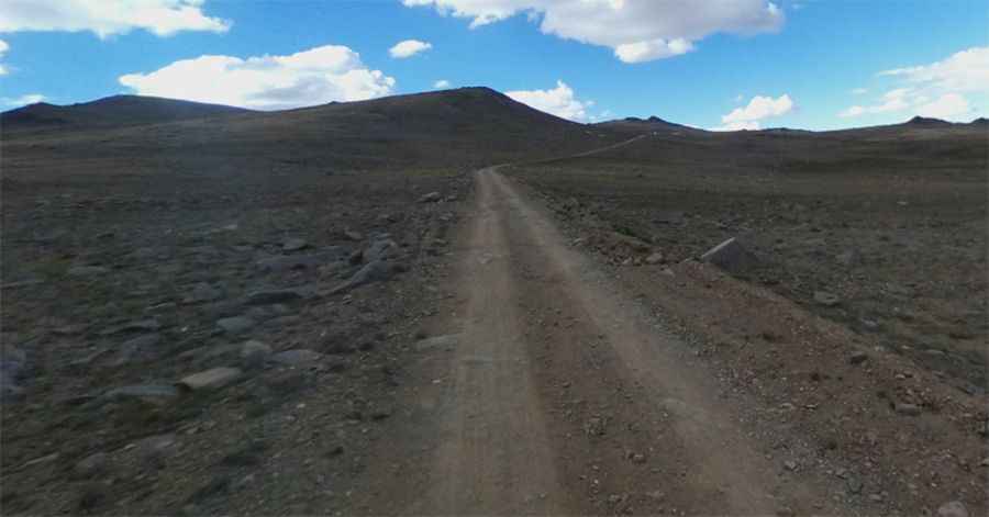
Driving the rough road to Barcroft Field Station in California
Barcroft Field Station is a weather station at an elevation of 3.800m (12,470ft) above sea level, located in Mono County, in the US state of California It's one of the highest roads of California.
Can you drive to Barcroft Field Station in California?
Situated within the Inyo National Forest, the road to the summit is winding and unpaved. It’s called White Mountain Road. The road is rough and rocky but careful navigation allows even 2-wheel drive vehicles to make the journey.
How long is the road to Barcroft Field Station in California?
The ascent begins from the paved CA-168 road and stretches over a distance of 28.3 miles (45.5km).
What is the Barcroft Field Station?
Constructed in 1951, the alpine laboratory facility stands as a testament to scientific endeavor at high altitudes. At the summit, you can find a hut that provides a semblance of human presence in this remote location. The astronomy dome is perched atop the peak. Beyond the main station, a lonely gravel road leads to the White Mountain Research Station Summit Laboratory, at 4,347m (14,261ft) above sea level, at the crest of White Mountain Peak.
Is the road to Barcroft Field Station in California open?
Set high in the White Mountains of California, the road to the summit is open from about June 1 - October 31 (weather and snow permitting). Access is restricted by a locked gate about 2 miles before the station. Winters are extremely severe, with the peak receiving upwards of 13 feet (400 cm) of snow annually.
Is the road to Barcroft Field Station in California challenging?
Tucked away in the eastern central portion of California, near the Nevada border, this section of trail, set within breathtaking landscapes, is not for the faint hearted – it is steep, and there are spots where a slip or fall could cause serious injury.
Pic: Scott Kennedy