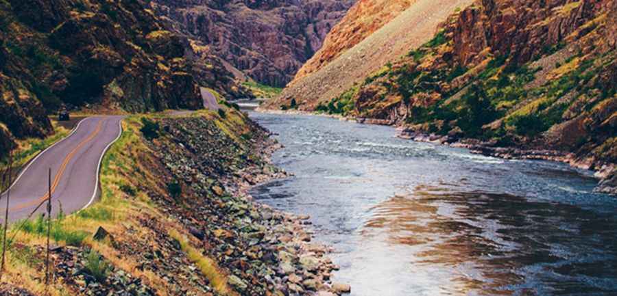
Hells Canyon Road is A Majestic Drive Along the Snake River Between Idaho and Oregon
Hells Canyon Road (NF-454) runs between Idaho and Oregon, taking travelers through the USA's deepest gorge, Hells Canyon. This route is known for its stunning views and the driving experience itself.

Is Hells Canyon Road paved?
The road follows the Snake River's eastern shore, winding through the heart of Hells Canyon. It is fully paved, with many turns, steep grades, and sections that cling to the canyon walls. The road alternates between high viewpoints above the river and stretches near the river level, requiring careful attention from drivers.
How long is Hells Canyon Road?
Hells Canyon Road spans 37.49 km (23.3 miles), starting at the Oxbow Bridge near Copperfield in Oregon's Baker County and ending at the Hells Canyon Dam. Only Park Service vehicles can continue past the dam, so travelers must turn back at this point. Originally built by Idaho Power for dam construction, the road is now an iconic route for those seeking natural beauty.
Pic: https://gearpatrol.com/2018/08/29/10-best-driving-roads-usa/