A road trip to Lobdell Lake in California is truly epic
Lobdell Lake is a high mountain reservoir at an elevation of 2.827m (9,274ft) above sea level, located in Mono County, in the U.S. state of California. It's one of the highest roads in California.
Can you drive to Lobdell Lake in CA?
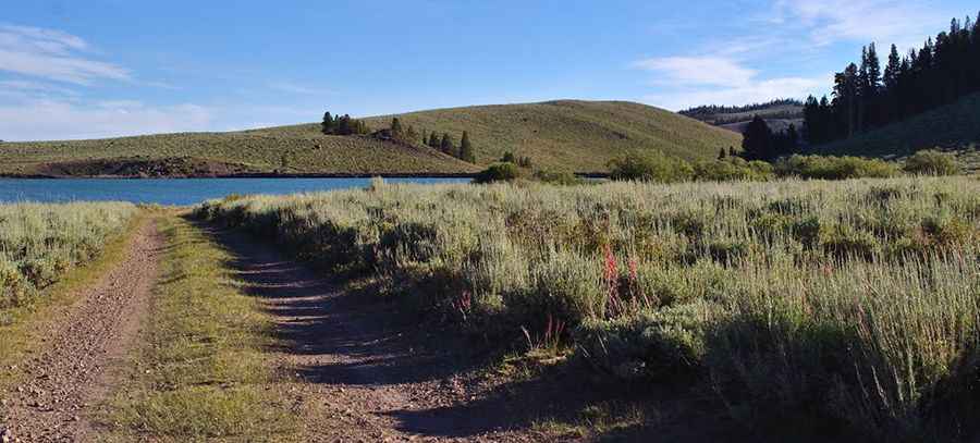
Tucked away within the Humboldt-Toiyabe National Forest, the road to the reservoir, located atop a plateau of shorts, is totally unpaved and pretty rough. It is called Road 67 (Lobdell Lake Road). It is suitable for most stock 4-wheel drive vehicles.
How long is the road to Lobdell Lake in CA?
Starting at US-395 road, to the east of Sonora Junction, the road to the lake is 17.05km (10.6 miles) long. The remote road is pretty steep, with a maximum gradient of 13% through some of the ramps. The road tops out at 2.908m (9,540ft) above sea level near the reservoir.
Is Lobdell Lake in CA open?
Set high in the Sweetwater Mountains, the trail is accessible from May until November only.
Is the road to Lobdell Lake in CA worth it?
Located in the east-central portion of California, near the Nevada border, to the north of Bridgeport, the scenery is breathtaking.
Pic: david goulart