Navigating the Steep Curves of Antelope Pass in Arizona
Antelope Pass is a high mountain pass at an elevation of 1.875m (6,151ft) above sea level, located in Coconino County, in the US state of Arizona. The climb is very steep climbing up 1,000 feet in 3 miles.
Is the road to Antelope Pass in Arizona paved?
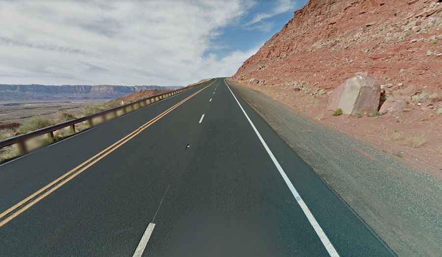
The road to the summit is called State Route 89A. Though it's paved, it offers a hilly journey. Particularly striking is a section where the road zigzags along a cliff edge, just outside of Bitter Springs.
How long is Antelope Pass in Coconino County?
Located in northern Arizona, the road to the summit is 41 km (25.5 miles) long running south-north from Bitter Springs to Lake Powell. Along this route, various lookouts offer breathtaking views, making it a popular choice for scenic drives.
Is the road to Antelope Pass in Arizona challenging?
Drivers should be cautious, as the road includes several narrow sections. As it winds around the hillside, its steepness and curves become especially pronounced. Due to this challenging terrain, trucks and vehicles hauling long trailers often find themselves relying on low gears. Additionally, the potential for falling rocks requires constant vigilance.