A paved road to Mentasta Pass in Alaska
Mentasta Pass is a mountain pass at an elevation of 739m (2,424ft) above sea level, located in the US state of Alaska.
Where is Mentasta Pass?
The pass is located in the Copper River Census Area, in the southeastern part of Alaska.
Is Mentasta Pass paved?
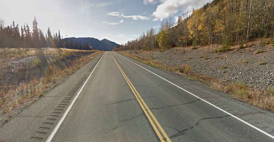
The road to the summit is called Alaska Route 1 (Glenn Highway). It’s a good, 2-lane paved highway, with some steep sections. The road surface often suffers from deformation caused by extreme frost and freeze-thaw cycles (potholes, frost heaves, and cracked asphalt).
How long is Mentasta Pass?
Set high in the Mentasta Mountains, the pass road is 103km (64.4 miles) long, running from Slana (in the Copper River Census Area) to Tok (in Southeast Fairbanks Census Area).