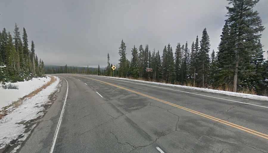
A paved mountain road to Rabbit Ears Pass in Colorado
Rabbit Ears Pass is a high mountain pass at an elevation of 2.873m (9,426ft) above sea level, located in the US state of Colorado.
Where is Rabbit Ears Pass?
The pass is located on the boundary between Jackson and Grand counties, in the northern part of Colorado.
Can you drive through Rabbit Ears Pass?
The road to the summit is fully paved but pretty steep, with sections up to 6.8% of gradient and a few hairpin turns. It’s called U.S. Route 40. Many locals and travelers alike traverse it each year. At Rabbit Ears Pass, visitors can continue 3 miles east along US-40 to Muddy Pass, which is about 500 feet lower in elevation.
How long is Rabbit Ears Pass?
The pass is 83.36km (51.8 miles) long, running from Steamboat Springs, a city in northern Colorado’s Yampa Valley to Kremmling, a Statutory Town in Grand County.
Is Rabbit Ears Pass open?
Set high in the Rocky Mountains, the pass is open year-round but subject to regular short closures due to hazardous driving/weather conditions. Adverse weather conditions are common. It has a reputation for being one of the most difficult passes in Colorado in winters.