Guadalupe Pass in Texas: The Ultimate Road Trip Guide
Guadalupe Pass is a high mountain pass at an elevation of 1,659m (5,442ft) above sea level, located in Culberson County, in the U.S. state of Texas.
Where is Guadalupe Pass?
The pass is located in the western part of Texas, near the New Mexico border, just outside Guadalupe Mountains National Park, to the south of Guadalupe Peak, the "Top of Texas".
Is the road to Guadalupe Pass in Texas paved?
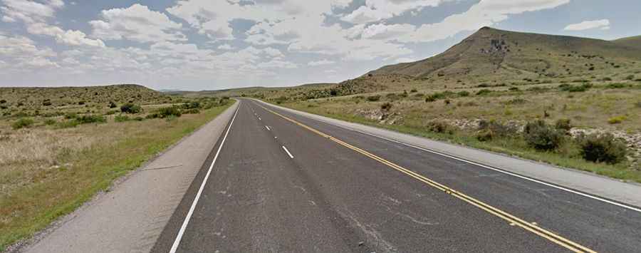
The road to the summit is entirely paved. It’s called U.S. Highway 62-180. The road is in very good condition, usually open year-round, and pretty wide.
How long is the road to Guadalupe Pass?
The road through the summit is 262km (163 miles) long, running from El Paso (the county seat of El Paso County in Texas) to Carlsbad (in Eddy County, southeast New Mexico). The road is steep in parts, hitting a 7% grade through some of the ramps.