Driving the paved road to the historic Marsh Pass in Arizona
Marsh Pass is a high mountain pass at an elevation of 1,860 m (6,102 ft) above sea level, located in Navajo County, in the U.S. state of Arizona.
Where is Marsh Pass?
The pass, located in northern Arizona, was formerly known as La Puerta Limita—a Spanish name that once marked the boundary between the Mexican provinces of Santa Fe de Nuevo México and Alta California to the west. The pass was located along the Armijo Route of the Old Spanish Trail.
Is the road through Marsh Pass paved?
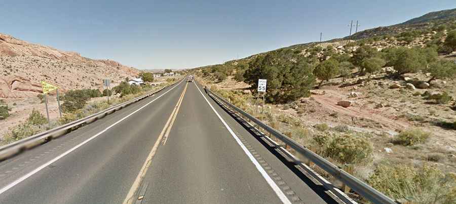
The road to the summit is totally paved. It’s called US-160. The drive is mostly flat but features a risk of rock slides. The pass can be snow-covered or icy in winter, and hot in summer.
How long is Marsh Pass?
The pass road is 119.73 km (74.4 miles) long, running from Tonalea (in Coconino County) towards Dennehotso (in Apache County).