How to drive the paved road to Spooner Summit in Nevada?
Spooner Summit is a high mountain pass at an elevation of 2,178 meters (7,146 ft) above sea level, located in Douglas County, in the U.S. state of Nevada.
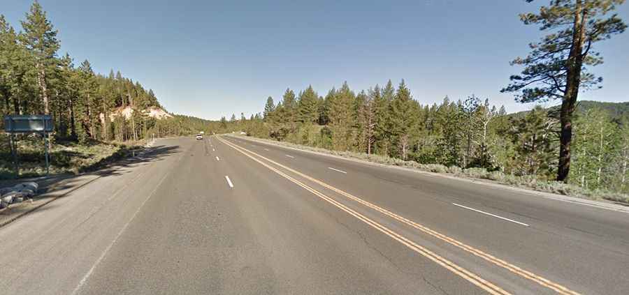
| Road facts: Spooner Summit | |
|---|---|
| Location | Douglas County (Humboldt-Toiyabe National Forest), Nevada (USA) |
| Route Designation | Lincoln Highway (U.S. Route 50) |
| Distance | 35.4 km (22 miles) |
| Elevation | 2,178 m (7,146 ft) above sea level |
| Max Gradient | Continuous 5% to 6% grades |
| Surface | Fully paved asphalt (2 to 4 lanes) |
| Winter Hazards | Black ice, sudden snowstorms, mandatory chain/4WD controls |
Where is Spooner Summit located?
The pass is located in western Nevada near the California border, within the Humboldt-Toiyabe National Forest, crossing the Carson Range between Lake Tahoe and Carson City.
Is the road to Spooner Summit paved?
The road through the pass is fully paved. It’s called Lincoln Highway (U.S. Route 50 along this Nevada section). It is a major paved two-to-four-lane mountain highway crossing the Carson Range. On the climb to the summit, the road maintains continuous 5% to 6% grades, combining uphill climbing lanes, wide paved shoulders, and sweeping wide-radius curves designed for heavy commercial traffic.
How long is the road over Spooner Summit?
The pass spans 22 miles (35.4 km), running from the California border near South Lake Tahoe east to Carson City.
How dangerous is Spooner Summit in winter?
Set high in the Carson Range, drivers face black ice, high-altitude fog, and sudden snowstorms during winter months that frequently trigger mandatory tire chain controls or 4WD requirements.