What is the maximum grade on Colorado mountain passes?
Buckle up and brace yourself, for we're about to embark on a roller-coaster journey through Colorado's towering titans. From the whispering pines to the snow-capped peaks, Colorado is not just a state; it's a state of mind for thrill-seekers.
Dive in, as we traverse the list of the most vertigo-inducing, heart-racing, and downright steepest mountain passes this Rocky Mountain paradise has to offer. Whether you're a seasoned adventurer or a curious traveler, these passes promise exhilaration with every twist and turn. Ready to elevate your adventure? Let's climb!
| Name | Highway | Elevation | Maximum Grade |
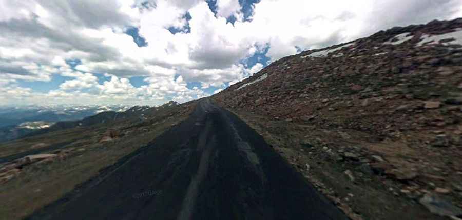
| Mt.Evans | SH 5 | 14,150’ | 9%-15% |
| Independence | SH 82 | 12,095’ | 6% |
| Trail Ridge High Point | U.S. 34 | 12,183’ | 5.4% |
| Loveland | U.S. 6 | 11,992’ | 6% |
| Hoosier | SH 9 | 11,541’ | 8% N |
| Slumgullion | SH 149 | 11,361’ | 9.4% N; 7.9% S |
| Fremont | SH 91 | 11,318’ | 5.7% |
| Berthoud | U.S. 40 | 11,315’ | 6.1% N; 6% S |
| Monarch | U.S. 50 | 11,312’ | 6.4% |
| Eisenhower Tunnels Approaches | I-70 | 11,158’ | 6% W |
| Red Mountain | U.S. 550 | 11,018’ | 7%+ |
| Molas | U.S. 550 | 10,910’ | 7% + |
| Spring Creek | SH 149 | 10,901’ | 7.5% |
| Wolf Creek | U.S. 160 | 10,850’ | 6.8% |
| Milner | U.S. 34 | 10,758’ | 5.4% |
| Vail | I-70 | 10,666’ | 7% |
| Coal Bank | U.S. 550 | 10,640’ | 6.5% |
| Tennessee | U.S. 24 | 10,424’ | 6% |
| Cameron | SH 14 | 10,276’ | 3.8% E |
| La Manga | SH 17 | 10,230’ | 5.2% |
| Lizard Head | SH 145 | 10,222’ | 4.1% |
| North/North Cochetopa | SH 114 | 10,149’ | 6% |
| Cumbres | SH 17 | 10,022’ | 6.3% |
| Kenosha | U.S. 285 | 10,001’ | 5.3% E |
| Red Hill | U.S. 285 | 9,993’ | 6% |
| Cucharas | SH 12 | 9,941’ | 5.9% N; 5.4% S |
| Squaw | SH 103 | 9,807’ | 6% |
| Willow Creek | SH 125 | 9,621’ | 6.3% |
| Gore | SH 134 | 9,527’ | 6.3% |
| Wilkerson | U.S. 24 | 9,507’ | 5.8% |
| Rabbit Ears | U.S. 40 | 9,426’ | 6.8% N |
| La Veta/North La Veta | U.S. 160 | 9,413’ | 6% |
| Trout Creek | U.S. 24/285 | 9,346’ | 5.2% |
| Ute | U.S. 24 | 9,165’ | 5.6% E |
| Poncha | U.S. 285 | 9,010’ | 3% |
| Dallas Divide | SH 62 | 8,970’ | 6.4% E; 5% W |
| Muddy | U.S. 40 | 8,772’ | 5.6% |
| McClure | SH 133 | 8,755’ | 8% |
| Douglas | SH 139 | 8,268’ | 7% |
| Raton | I-25 | 7,834’ | 6% |