Cedar Breaks Scenic Byway is an iconic road in Utah
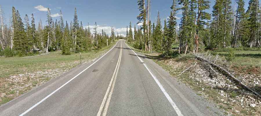
Cedar Breaks Scenic Byway (Utah State Road 148) is a high mountain road located in Iron County, in the US state of Utah. The upper rim of Cedar Breaks rises to 3.236m (10,616ft) above sea level. It’s one of the highest roads in Utah.
Where is the Cedar Breaks Scenic Byway?
The road is located in the southwestern part of Utah, within the Cedar Breaks National Monument.
Is the Cedar Breaks Scenic Byway paved?
This high mountain road is totally paved with an elevation gain from 9,900 feet to 10,600 feet. The road was built in 1985.
Is the Cedar Breaks Scenic Byway open in winter?
It remains open to vehicular traffic until snow and heavy drifting occur, normally anywhere from late October to early December, and reopens in late May, weather permitting.
How long is the Cedar Breaks Scenic Byway?
The road is 9.65km (6 miles) long, running south-north from State Route 14 in Cedar Canyon to U-143. The road includes some steep sections (up to 4%). Traffic is constant and slow-moving. The speed limit through the monument is 30 miles per hour.
How long does it take to drive the Cedar Breaks Scenic Byway?
Plan 11 minutes without any stop. The drive is definitely worth it. Don't forget your camera with lots of film or memory and fully charged batteries! The road includes several overlooks and highlights the scenery of the Dixie National Forest and the multi-colored rock amphitheater of Cedar Breaks National Monument.