How to get by car to Alma, the highest town in North America?
Located in Park County, in the US state of Colorado, Alma is the highest incorporated town in North America at an elevation of 3.224m (10,578ft) above sea level. It’s one of the highest towns on Earth accessible by car.

Is the road to Alma paved?
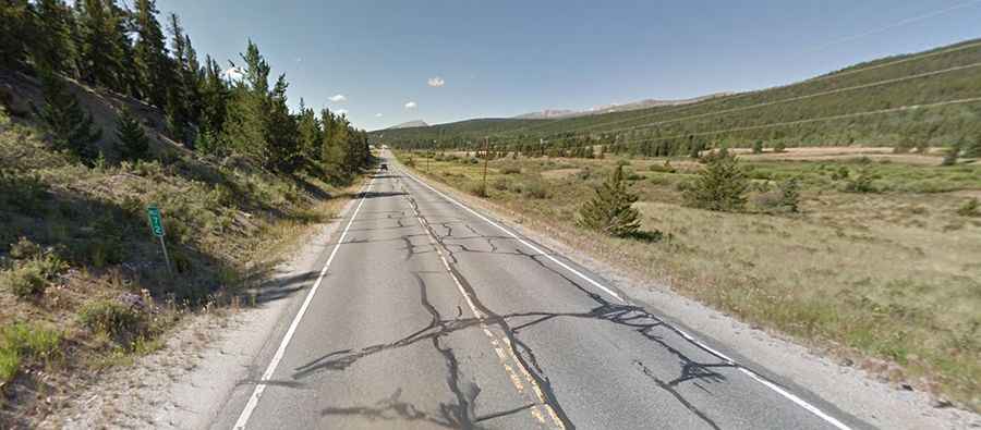
Located north of Fairplay and south of Hoosier Pass, the road to the mountain town is fully paved. It’s called State Highway 9.
How long is the road to Alma?
The road is 51.33km (31.9 miles) long, running south-north from Fairplay (the county seat of Park County) to Frisco (in Summit County).
What can you find in Alma?
Located in the Tenmile Range of the Rocky Mountains, Alma was established in the late 19th century, primarily as a mining town during Colorado's gold rush era. The town's name is believed to have been inspired either by a local businesswoman, Alma James, or the daughter of a local prospector.
What’s the weather at Alma?
Alma experiences a subarctic climate, characterized by long, cold winters and short, mild summers. Snow can fall at any time of year, and the town receives significant snowfall during the winter months.