A memorable road trip to Melendrez Pass in Arizona
Melendrez Pass is a high mountain pass at an elevation of 1,763m (5,784ft) above sea level, located in Pima County, in the U.S. state of Arizona.
Where is Melendrez Pass?
The pass, also known as Melendreth Pass, is located south of Castle Dome, in the south-central region of Arizona, within the Coronado National Forest.
How long is the road to Melendrez Pass in Arizona?
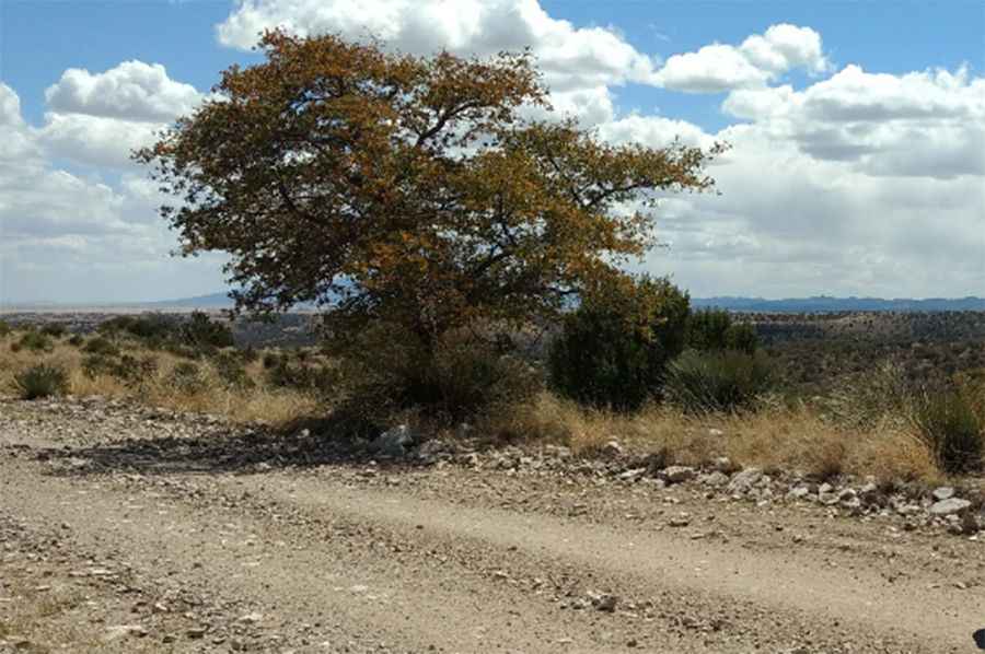
Starting at the paved AZ-83, the road to the summit is 12.87 km (8.0 miles) long. It's called Forest Road (FR) 229. It starts paved and turns into gravel for the last 5 miles. The road becomes worse in the last 0.3 miles, after leaving Highway 229. The drive is never too steep. It features many river crossings and some rocky sections, requiring a high clearance 4-wheel drive vehicle.
Is Melendrez Pass in Arizona open in winter?
Set high in the Santa Rita Mountains, make sure to review the weather forecast before you set off, since rain or snow might impact the road conditions. During the journey, you'll enjoy breathtaking scenery of nearby mountains and valleys, plus chances to see native wildlife. This route is ideal for a day excursion, offering numerous spots to pause and take in the natural beauty.
Pic: Howard Rains