Driving the lovely Glendora Mountain Road in Southern California
Glendora Mountain Road is a very scenic mountain drive located in the US state of California. It is a highly technical riding road, especially for motorcycles, offering breathtaking views and hills.
Where is Glendora Mountain Road?
The road, commonly known as GMR by locals, spans San Bernardino and Los Angeles counties, just an hour away from downtown Los Angeles, within the Angeles National Forest.
How many miles is Glendora Mountain Road?
The road is entirely paved, stretching 34.76km (21.6 miles) from the city of Glendora (in the San Gabriel Valley in Los Angeles County) to Mount Baldy (in San Bernardino County).
How challenging is Glendora Mountain Road?
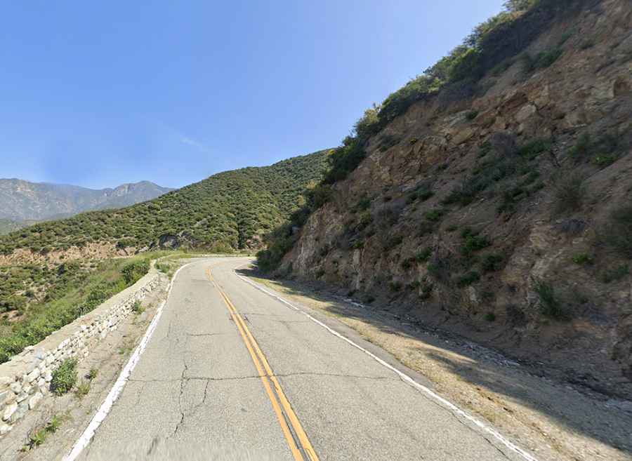
The road has steep sections, with a maximum gradient of 10% through some of the ramps. The tarmac is generally of high quality with few potholes, as it lies at a low enough elevation to avoid major snowfall and ice for all but a handful of days a year. The road is smooth and in excellent condition. Some blind turns will keep you at the edge of your seat. Be cautious not to ride the lane divider line, as a bike or car could be doing the same thing coming in the opposite direction.
How long does it take to drive Glendora Mountain Road?
It's considered one of the most scenic drives in southern California, with jaw-dropping mountain panoramas at every turn. Plan 1 hour to complete the drive without stops. It’s an excellent road for a scenic car drive or an even better motorcycle ride, with numerous turnouts to stop and admire the views.
When is the best time to drive Glendora Mountain Road?
Weekends are usually packed with motorcycles and cyclists, leading to more accidents. It's recommended to go during the week to avoid weekend traffic. Occasionally, there can be some reckless drivers treating the road like a track. The best time to go on GMR is on weekdays in the morning when there is less traffic.
Is Glendora Mountain Road open today?
Set high in the San Gabriel Mountains, the road tops out at 1,383m (4,537ft) above sea level. At this elevation, it can be used year-round.