Driving Interstate 90 to Homestake Pass in the Rocky Mountains of Montana
Homestake Pass is a high mountain pass at an elevation of 1.954m (6,410ft) above sea level, located in the US state of Montana.
Where is Homestake Pass?
The pass is located on the boundary between Jefferson and Silver Bow counties, in the western part of Montana, within the Beaverhead-Deerlodge National Forest.
Is Homestake Pass paved?
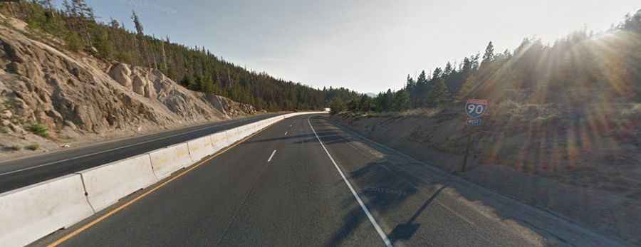
Set high in the Rocky Mountains, the road leading up to the summit is completely paved. It is called Interstate 90. Homestake Pass is the highest point on this expansive 4,861km (3,020 miles) highway. When Interstate 90 was established, Montana strategically utilized Homestake Pass to traverse the Continental Divide, offering a more convenient route than Pipestone Pass.
How long is Homestake Pass?
Perched atop the Continental Divide, Homestake Pass stretches 39.91km (24.8 miles) from west to east, connecting Butte, the county seat of Silver Bow County, to the town of Whitehall in Jefferson County.
Is Homestake Pass in Montana open?
Although the pass is usually open year-round, it's not uncommon to encounter brief closures during winter months due to adverse weather conditions.