A Memorable Road Trip to the Historic Gibbons Pass in Montana
Gibbons Pass is a high mountain pass at an elevation of 2,126m (6,975ft) above sea level, located in the U.S. state of Montana.
Where is Gibbons Pass?
The pass is located on the boundary between Beaverhead and Ravalli counties, in the southwestern part of Montana, within the Bitterroot National Forest.
Why is Gibbons Pass Important?
Set high on the North American Continental Divide, it’s one of the most historic passes in Montana. It was used by part of the Lewis and Clark Expedition on their return trip. This pass played a role in the Lewis and Clark Expedition's journey across the continent. Read more about their discoveries and the routes that became today's roads: From Expedition Routes to Asphalt: Lewis and Clark's Mountain Pass Discoveries.
Why is it Called Gibbons Pass?
Tucked away in the Rocky Mountains, the pass is named after Colonel John Gibbon.
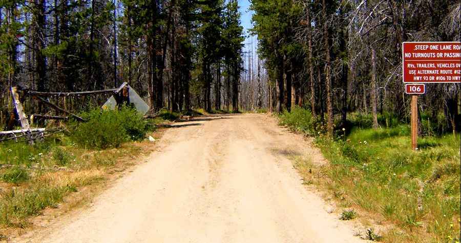
Is Gibbons Pass Unpaved?
The road to the summit is unpaved. It’s called Bitterroot-Big Hole Road (Forest Road 106). It’s a steep, winding, and narrow road with few turnouts, not suitable for vehicles over 25 feet, trailers, or those with low clearance.
Pic: Grant Gardner