How to drive the paved road to Currant Creek Pass in Colorado
Currant Creek Pass is a high mountain pass at an elevation of 2.891m (9,485ft) above sea level, located in Park County, in the US state of Colorado.
Where is Currant Creek Pass?
The peak is located in the central part of Colorado within the Pike National Forest. The pass sits on the boundary between the Arkansas River basin and the Platte River basin.
Is the road through Currant Creek Pass paved?
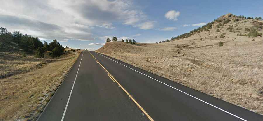
The road to the summit is totally paved in very good condition. It’s called Colorado State Highway 9.
How long is the road through Currant Creek Pass?
The road is 47 miles long, running north-south from Hartsel (in Park County) to Cañon City (the county seat of Fremont County).
Is the road through Currant Creek Pass open?
Set high in the Thirtynine Mile Mountain, this road is open year-round, but it can be closed anytime when the access is not cleared of snow, only during severe winter storms.