Driving The Scenic Loop at Red Rock Canyon in Nevada
Red Rock Canyon Loop is a stunning scenic road located in Clark County, in the U.S. state of Nevada.
How Long is the Red Rock Canyon Loop?
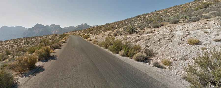
This one-way road is 19.95 km (12.4 miles) long, starting and ending at Red Rock Canyon Road. The loop showcases miles of stunning views through arid desert landscapes, red and buff-colored rock formations, and beautiful sandstone and limestone cliffs that reach elevations of 7,000 feet.
Is the Red Rock Canyon Loop Paved?
Running through the Red Rock Canyon National Conservation Area, the scenic road is fully paved. There is a $15 fee per vehicle to enter the park. The road includes steep sections, reaching a 10.25% maximum gradient on some ramps, and it tops out at 1,457 m (4,780 ft) above sea level.
How Long Does it Take to Drive the Red Rock Canyon Loop?
Without any stops, plan for about 20 minutes to complete the drive. Also known as Scenic Loop Drive, this journey is definitely worth it for the incredible views.
Is the Red Rock Canyon Loop Open?
The scenic drive opens at 6 a.m. every day, weather permitting. Closures may occur during flash floods from seasonal rainstorms or rare snowstorms. The drive closes around sunset—at 5 p.m. from November through February; 7 p.m. in March and October; and 8 p.m. from April through September 30.