Rim Rock Drive offers dizzying cliff’s edge views of Colorado National Monument
Rim Rock Drive is one of the most scenic drives in the American West. Located in Mesa County, in the U.S. state of Colorado, the drive delivers dizzying cliff’s edge views in Colorado National Monument.
When was Rim Rock Drive built?
It was built between 1931 and 1950 (work was suspended by WWII) by the Civilian Conservation Corps under the New Deal. It’s notable for its engineering. For much of its length, it was built through solid rock using manual labor.
Can you drive through Colorado National Monument?
Rim Rock Drive is the only paved road through Colorado National Monument. It is impressively engineered, melded with the landscape in a very unobtrusive way while providing visitors with unforgettable views right from their bike or car. The road, set in the kind of rugged, wild-west, is the main artery through the park.
How long is Rim Rock Drive?
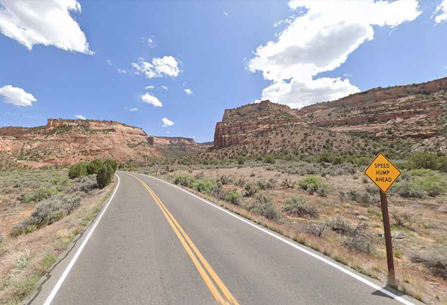
It’s 41.68km (25.9 miles) and runs between the park’s east entrance in Grand Junction and the west entrance in Fruita following the upper rim of a series of canyons. The road includes three tunnels.
Is Rim Rock Drive open?
The road is typically open all year round, but always check the weather forecast before you start your journey. In the winter, road conditions can change frequently. During a rainy spell, rock slides are common on the road. Occasionally, temporary closures may be necessary in the event of rockfall or winter conditions. The road can be closed for a few hours to clean up several boulders that broke apart when they hit the pavement.
How long does it take to drive Rim Rock Drive Colorado National Monument?
Tucked away in Colorado National Monument, plan up to one hour of drive time one-way without any stop.
Is Rim Rock Drive in Colorado National Monument worth it?
It's a pretty drive. The road winds through red rock canyons through scenery dotted with pine and juniper trees. Above, golden eagles soar. Red rock canyons, crisp blue skies, and verdant green juniper splash fantastic views along the way for motorists and bicyclists. The road is inseparable from the identity of the Monument. The drive provides access to Saddlehorn Visitor Center and campground, 19 signed viewpoints, and 14 hiking trails. The drive offers red rock canyons, crisp blue skies, and glorious views along the way for motorists and bicyclists.
Is Rim Rock Drive dangerous?
The winding roadway plots an improbable course along the rim of Monument Canyon. Please use caution as you drive along the road and watch for wildlife, fallen rocks, and other hazards. Obey posted speed limits and be careful on the narrow road shoulders. Watch for bicyclists and share the road with them. The road is challenging, narrow, and steep in some sections with sheer drop-offs. Special considerations must be made for road travel since motorists and bicyclists share the road. Use caution when on tight corners and hills. On the east side of the monument, motorists may encounter large trucks that use four miles of the monument's roadway to access the community of Glade Park. This drive is miles of switchbacks with an elevation change of approximately 1,100 feet. The view at left is from close to the top looking back down the road. There are two tunnels on this section of the drive with a center height of 16’ but 11’5” near the edges. With large vehicles, be safe: basically, you will need to drive down the center of the tunnels, which can be a little unnerving at times. If you are afraid of heights, some sections of Rim Rock Drive could be difficult to navigate.