Valley of Fire Highway is an iconic drive in Nevada
Valley of Fire Highway is a very scenic drive located in the northeastern part of Clark County, in the US state of Nevada. The drive is honored for its surrounding beauty as well.
How long is Valley of Fire Highway?
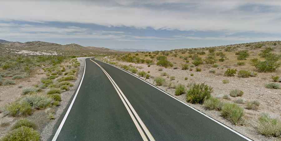
Running through Valley of Fire State Park, the oldest state park in Nevada, the road is 37.49km (23.3 miles long) running west-east from I-15, at the former Crystal townsite, to NV-169. It’s paved but a bit bumpy with many turns. It’s said to be the main road through the park. Also called the Valley of Fire Road, this may be your favorite road in the world if you’re fond of the color red. Beautiful red sand stones are abundant here, looking as if they’re on fire when under sunlight.
Is Valley of Fire Highway worth it?
The drive is steep in parts, topping out at 933m (3,061ft) above sea level. The road offers breathtaking views and an awesome scenery throughout the ride. Views of unusual rock formations and parts of Lake Mead are visible from several parts of the route. Driving through the Valley of Fire exposes the tourist to images of amazing red sandstones designed by nature thousands of years ago. You can actually stop and have a better view of the rocks, with the Seven Sisters Vista and the Elephant Rock Vista presenting the best opportunities for this. If you desire to see the very old Native American cave drawings, you can do the one-mile Petroglyph Canyon Trail. The road was designated as a Nevada Scenic Byway in 1995.