A journey on the legendary California State Route 58
California State Route 58 is one of the most scenic drives in the USA. Light traffic, a great road, cool views, and good food at both ends make Highway 58 a ride not to be missed.
How long is California State Route 58?
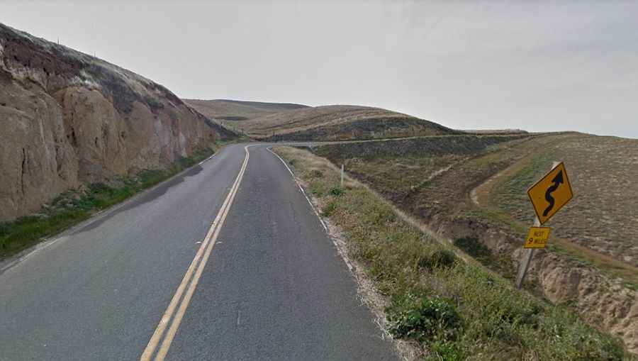
Located on the western part of California, the drive is 383km (238 mi) long, running across the California Coast Ranges, the southern San Joaquin Valley, the Tehachapi Mountains, the southern Sierra Nevada, and the Mojave Desert. Beginning about a dozen miles west of Bakersfield, Highway 58 is a roller-coaster all the way to the coast. Giant sweepers with giddying changes in elevation run through pastoral farmland for more than an hour. Then suddenly the road tightens down into twisting loops as you dive into canyon country. Just as suddenly, it all stops, and you find you've arrived at San Luis Obispo's back door.
Where does California State Route 58 start and end?
The road runs from Barstow (in San Bernardino County) to Santa Margarita (in San Luis Obispo County) near the coast.
Is California State Route 58 paved?
The road, also known as State Route 58 (SR 58), Calf Canyon Highway, Carrisa Highway, Bakersfield-McKittrick Highway, Rosa Parks Highway, Rosedale Highway, Barstow-Bakersfield Highway, Kern County Korean War Veterans Memorial Highway, and Mojave-Barstow Highway, is a paved east-west highway. The asphalt is a little coarse but unbroken.
How’s the drive on California State Route 58?
The road was built in the 1930s. Cross streets and even driveways are few and very far between. On the western end where turns get tight, they stay predictable with no decreasing-radius turns, gravel in the corners, or other hazards. Needless to say, traffic is non-existent. If you see two cars west of Simmler, it must be rush hour.
Are chains required on Highway 58?
The road tops out at Tehachapi Pass, a mountain pass at an elevation of 1,241m (4,071ft) above sea level. Chains are sometimes required near the summit between Bakersfield and Mojave.