A journey to the legendary Union Pass in Wyoming
Union Pass is a high mountain pass at an elevation of 2.808m (9,212ft) above sea level, located in the U.S. state of Wyoming. It offers stunning views and serves as a vital route through the rugged landscapes of northwestern Wyoming.
Where is Union Pass in WY?
The pass is located on the boundary between Sublette and Fremont counties in the mountains of northwestern Wyoming, tucked away between the Bridger-Teton National Forest and the Shoshone National Forest. A monument on top marks the transition on the Continental Divide from the Wind River drainage to the Green River drainage.
How long is Union Pass Road Wyoming?
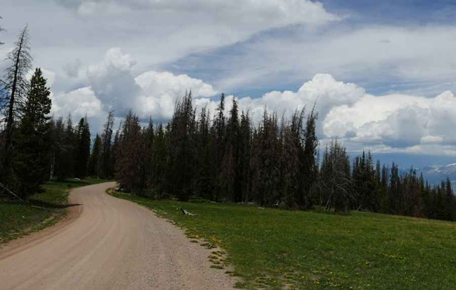
The road to the summit is mostly unpaved. It’s called Union Pass Road. The road is 116.83km (72.6 miles) long, running from U.S. Route 287 near Dubois to U.S. Route 189 in Pinedale.
How long does it take to drive the Union Pass Road?
Plan up to four hours of drive time one-way without any stops. It's a pretty drive, with some large pastures and a few mountain lakes. Union Pass is set in a fairly flat area, so you can drive over the pass and hardly notice it. The road provides access to expansive meadows, spectacular views of the Teton, Wind River, and Absaroka mountains, and the headwaters of three great North American rivers: the Colorado, the Mississippi, and the Columbia.
Is the road to Union Pass difficult?
Set high in the Wind River Range, the road is not suitable for passenger cars. You’ll definitely need an SUV with all-wheel or 4-wheel drive. The road is in good condition but pretty rough in places (on the Pinedale side).
Pic: Jeff Brockett