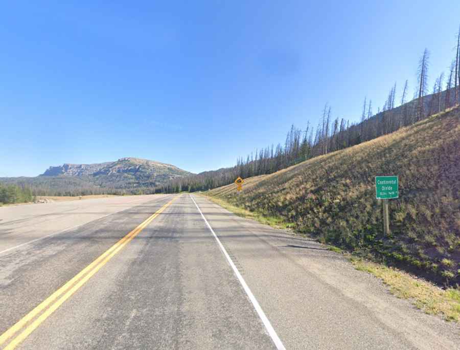
Driving the paved road to Togwotee Pass in the Absaroka Mountains
Togwotee Pass is a high mountain pass at an elevation of 2.920m (9,580ft) above sea level located in Teton County, in the U.S. state of Wyoming.
Where is Togwotee Pass?
The pass is located on the Continental Divide, in the northwestern part of Wyoming, within the Bridger-Teton National Forest.
Why is it called Togwotee Pass?
The pass is named after Togwotee, a subchief of the Sheepeater tribe.
Is the road to Togwotee Pass paved?
Togwotee Pass is traversed by U.S. Highway 287 and 26. The road through the pass is fully paved and includes several steep sections.
Is Togwotee Pass open?
Set high in the Absaroka Mountains, the pass is usually open throughout the year. However, short-term closures can occur in winter due to adverse weather conditions. Snowfall at the pass can exceed 25 feet (760 cm), and in certain winters, accumulations of over 50 feet (15 m) have been reported. During intense blizzards, the road may be closed for extended periods.
How long is Togwotee Pass?
The pass is 89.15km (55.4 miles) long, running from Moran in south-central Teton County to Dubois in Fremont County.