Discovering the history and beauty of Dead Indian Pass in Wyoming
Dead Indian Pass is a high mountain pass at an elevation of 2,465 m (8,087 ft) above sea level, located in Park County, in the U.S. state of Wyoming.
Where is Dead Indian Pass?
The pass is located in northern Park County, in the northern part of Wyoming. A gravel dirt road to the right leads to a few radio towers on Dead Indian Hill at 2,606 m (8,549 ft) above sea level.
Why was it named Dead Indian Pass?
Named by historical events, the pass is the highest point on the road. It’s associated with the flight of the Nez Perce Indians during the Nez Perce War in 1877.
Is Wyoming 296 paved?
The road to the summit is totally paved. It’s called Wyoming Highway 296 (WYO 296), also known as the Chief Joseph Scenic Byway and Dead Indian Hill Road.
How long is Dead Indian Pass?
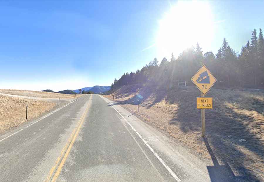
The pass is 73.86 km (45.9 miles) long, running from WY-120 to US-212 (Beartooth Highway). The drive has very steep sections.
Is Dead Indian Pass open?
Set high in the Absaroka Range, access to the pass is typically open all year round, but winter weather may cause restrictions and closures due to dangerous conditions. Keep an eye on the weather because snowstorms can temporarily close it, or at least make the drive risky.
Is Dead Indian Pass worth the drive?
The summit hosts a parking lot and offers stunning views. You’ll see miles and miles over mountains and down into the valley.