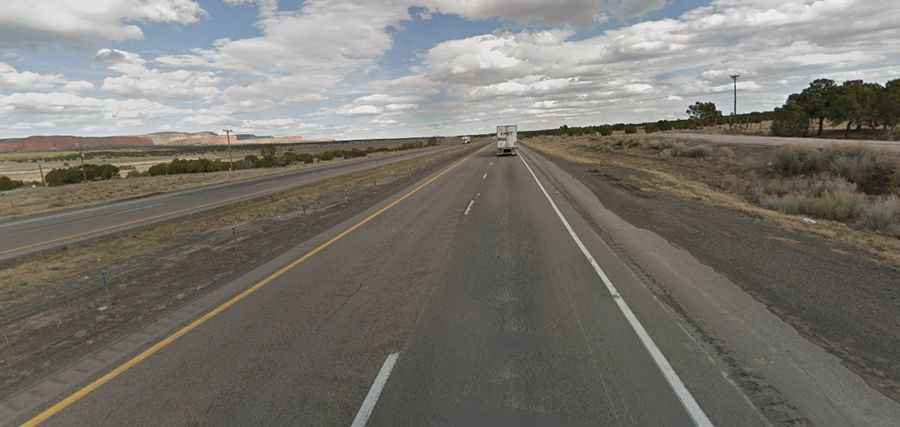
A paved road to Campbell Pass in New Mexico
Campbell Pass is a high mountain pass at an elevation of 2.219m (7,280ft) above sea level, located in McKinley County, in the U.S. state of New Mexico.
Where is Campbell Pass?
The pass is located near Thoreau, in the northwestern section of the U.S. state of New Mexico within the Cibola National Forest. It marks the lowest point along the Continental Divide in this region.
When was the road through Campbell Pass built?
Part of the historic Route 66, the first road through the pass was built in 1914.
Is the road to Campbell Pass paved?
The road to the pass is totally paved in very good condition. It’s called Interstate 40 (I-40). It is a fast, easy highway drive with gentle gradients (2-3%). It has heavy semi-truck traffic.
How long is the road to Campbell Pass?
The pass road is 100km (62.5 miles) long, running west-east from Gallup (in McKinley County) to Grants (in Cibola County).
Is the road to Campbell Pass open year-round?
Set high in the Zuni Mountains, the road is open year-round. Expect high crosswinds across the plateau, and winter ice or sudden snow squalls.