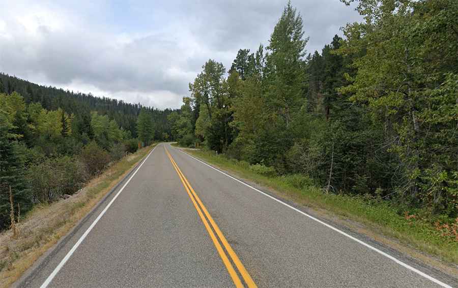
A scenic paved road to Kings Hill Pass in Montana
Kings Hill Pass is a high mountain pass at an elevation of 2,251 meters (7,385 feet) above sea level, located in the US state of Montana.
Where is Kings Hill Pass?
The pass is located on the boundary between Meagher and Cascade counties, in the central part of Montana, within the Lewis and Clark National Forest. To the west of the pass, a minor unpaved road climbs up to Porphyry Peak, at an elevation of 2,500 meters (8,202 feet) above sea level.
What’s at Kings Hill Pass?
At the summit, there’s a big parking lot, as well as a hotel and a ski resort. It also hosts an observation tower offering views of the Lewis and Clark National Forest that is popular with visitors.
Is the road to Kings Hill Pass paved?
The road to the summit is totally paved. It’s called Kings Hill Scenic Byway, part of U.S. Route 89. The road winds its way through pristine mountain lakes and streams and is home to an abundant variety of wildlife. Bears may frequent the area.
How long is the road through Kings Hill Pass?
The road is 114.58 km (71.2 miles) long, running north-south from Armington Junction to White Sulphur Springs.
Is the road through Kings Hill Pass open in winter?
Set high in the Little Belt Mountains, the road through the pass is usually open year-round. However, winter driving conditions can be difficult, so check road conditions.