Travel Guide to Bannock Pass on the Montana-Idaho border
Bannock Pass is a high mountain pass at an elevation of 2.342m (7,684ft) above sea level located on the border of Montana and Idaho, in the USA.
Why is it called Bannock Pass?
The name of the pass comes from the Bannock Native American tribe. This traditional Indian route once provided access from Montana's buffalo territories to the fishing streams of the Snake and Salmon Rivers. This route facilitated travel between the Lemhi River Valley and Horse Prairie.
How to drive through Bannock Pass?
Set high in the Beaverhead Mountains, part of the Bitterroot Range in the Rocky Mountains, the road to the summit is called Idaho State Highway 29-ID-29 on the southern side and Montana Secondary Highway 324 (MT-324) on the northern side.
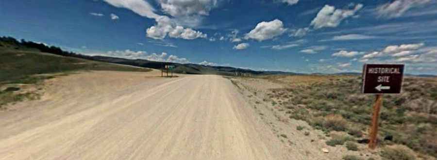
Is Bannock Pass paved?
The road is mostly paved and typically quite wide. It has a maximum gradient of 7.0%. There's about 10 miles of gravel between the paved sections.
How long is Bannock Pass?
Located atop the Continental Divide, the pass is 76.92km (47.8 miles) long, running west-east from Leadore (in Lemhi County, Idaho) to the I-15 road, north of Red Rock (in Beaverhead County, Montana).