Driving the sensational road to Conway Summit in California
Conway Summit is a high mountain pass at an elevation of 2.482m (8,143ft) above sea level, located in Mono County, in the US state of California.
Why is it called Conway Summit?
The pass is named after John Andrew Conway, a settler in the area in 1880.
Is the road to Conway Summit in California paved?
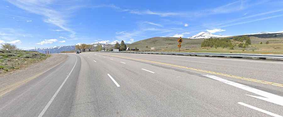
The road to the summit is fully paved with a few steep spots. It’s called U.S. Highway 395. At this elevation, it’s the highest point on the highway. The drive offers spectacular views of Mono Lake and the Sierra Nevada mountain range.
How long is Conway Summit in California?
The pass is 31.38km (19.5 miles) long running north-south from Willow Springs to Lee Vining, on the southwest shore of Mono Lake.
Is Conway Summit in California open in winter?
Set high in the Eastern Sierras, the pass is typically open all year round, but short-term closures are common in winter due to dangerous weather conditions.
If you want to drive higher…
East of the pass (38.08768, -119.18218), a minor gravel road climbs up to a few communication facilities, at an elevation of 2.565m (8,415ft) above sea level. The road is steep, hitting an 8% of maximum gradient through some of the ramps. 4x4 vehicle required.