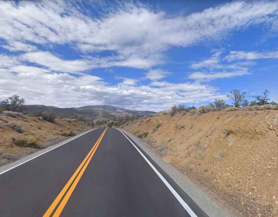
Driving the paved road to Westgard Pass in California
Westgard Pass is a high mountain pass at an elevation of 2.236m (7,335ft) above sea level, located in Inyo County, in the US state of California.
Where is Westgard Pass?
The pass is located in northern Inyo County, in the eastern-central part of California.
Why is it called Westgard Pass?
The pass was named after Anton L. Westgard, the Vice President and Director of Transcontinental Highways.
How long is Westgard Pass in California?
The road to the summit is paved. It’s called California State Route 168. The pass is 60.35km (37.5 miles) long running from Big Pine (in Inyo County) to Oasis (in Mono County). Additionally, to the south of the pass, travelers can drive the White Mountain Road, a slightly challenging gravel path with breathtaking panoramas.
Is Westgard Pass in California paved?
Tucked away between the White Mountains and Inyo Mountains ranges, the road is well paved, but narrow and very twisty. Not a good road for strictly freeway type riders. Many hairpins with steep drop-offs. This is definitely one of those roads where you take it easy going and hurry back after you know the road.
When is Westgard Pass in California open?
Set high within the Basin and Range Province, the road to the summit is closed in winter, usually not opening until mid or late April.
Is a trip to Westgard Pass in California rewarding?
Tucked away in the Inyo National Forest, the highway is known for its pristine scenery and grand vistas. It has great views of the White Mountains and the Sierras, with continuous vistas of the whole route.