A scenic paved road to Pacific Grade Summit in California
Pacific Grade Summit is a high mountain pass at an elevation of 2.463m (8,080ft) above sea level, located in Alpine County, in the US state of California. The pass is not plowed for snow.
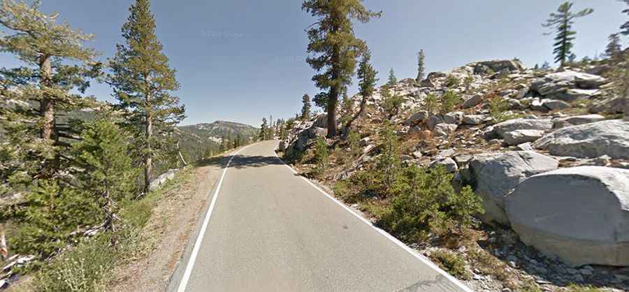
Is the road to Pacific Grade Summit paved?
Located in the Sierra Nevada mountain range, the pass is traversed by the paved California State Route 4, also known as Alpine State Highway, part of the Ebbetts Pass National Scenic Byway.
Is Pacific Grade Summit open?
Set high on the eastern part of California, to the west of Ebbetts Pass, the road suffers the harsh meteorological conditions of the area every winter. The pass usually remains open until the first heavy snowfall of the winter arrives. Often that occurs sometime in early November, but snow can temporarily close the pass at any time. The highway reopens in the spring after snowmelt, normally by Memorial Day, but sometimes as early as April or as late as July depending on snow conditions.
Is Pacific Grade Summit challenging?
It has very steep sections with hairpin corners. It is rarely used by commercial traffic and not suitable for large trucks, buses, or RVs, as it becomes very steep and narrow, with no center dividing line shortly after the Mount Reba Turnoff to Bear Valley Ski area, with tight switchbacks. It winds in improbably steep switchbacks around large tree trunks and truck sized boulders, climbing the next ridge. The eastern slope is particularly difficult, as many of the hairpin corners are blind, and steepen suddenly at the apex, making it necessary to shift to first gear in most vehicles. The road, beyond Bear Valley, gets very narrow. It also has a 24% grade and three hairpin turns.
Is Pacific Grade Summit worth the drive?
The winding scenic road offers stunning views running through the mountains. The increasing elevation yields different biomes. The road does get busier at weekends and in the main holiday season.