Travel Guide to the Top of Eagle Summit in Alaska
Eagle Summit is a mountain pass at an elevation of 1,113m (3,652ft) above sea level, located in the US state of Alaska.
Where is Eagle Summit?
The pass is located in the White Mountains of central Alaska, within the Steese National Conservation Area.
Why is it called Eagle Summit?
The pass is named after the nearby Eagle River.
Where does the road through Eagle Summit start and end?
The pass is the highest point of the Steese Highway. It is a 156 miles (251 km) long highway, running northeast from the city of Fairbanks to Circle, a small town on the Yukon River, 50 miles south of the Arctic Circle. Completed in 1927, it’s open all year round. Much of the road is narrow and winding.
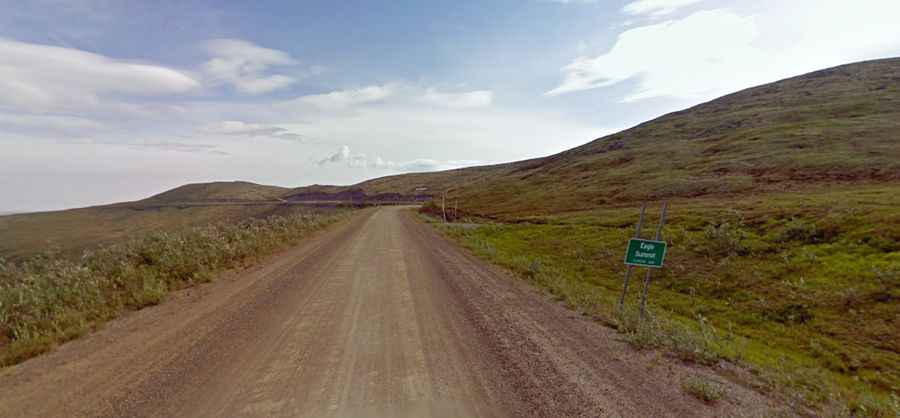
Is the road through Eagle Summit paved?
The first 81 miles (130 km) of the route are paved, and the remainder is a good gravel road.