Steese Highway in Alaska: The Road That Has it All
Steese Highway is a very scenic drive with unforgettable sights and natural wonders, located in the U.S. state of Alaska, running from Fairbanks to Circle.
Why is it called Steese Highway?
The road is named after U.S. Army General James G. Steese, a former president of the Alaska Road Commission. The roadway was completed in 1927.
How long is the Steese Highway?
The road, also known as the Steese Expressway, is 156 miles (251 km) long, running northeast from the city of Fairbanks to Circle, a small town on the Yukon River, 50 miles south of the Arctic Circle.
Is the Steese Highway paved?
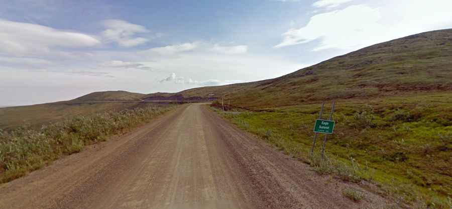
The road, numbered Alaska Route 6 and Alaska Route 2, features both paved and gravel stretches. The first 81 miles (130 km) of the route are paved, and the remainder is a good gravel road. Much of the road is narrow and winding.
Is the Steese Highway open in winter?
The road tops out at 1,113m (3,652ft) above sea level, at Eagle Summit. It’s usually open all year round.
Is the Steese Highway worth the drive?
The highway offers stunning views as it passes through a variety of habitats, from the river-bottom forest land of the Chatanika River to the higher-elevation alpine tundra around Twelvemile and Eagle summits.