A sensational paved road to Echo Summit in California
Echo Summit is a high mountain pass at an elevation of 2,255m (7,398ft) above sea level, located in El Dorado County, in the US state of California.
Where is Echo Summit?
The pass is located in eastern El Dorado County, in the northeastern part of California, near the Nevada border.
When was the road through Echo Summit built?
The road through the summit was constructed between 1936 and 1939.
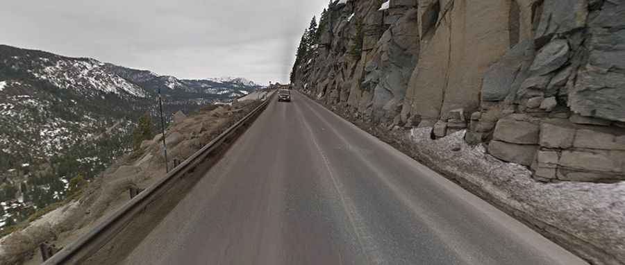
Is Echo Summit in California paved?
The road to the summit, also known as Johnson Pass, is fully paved. It’s called U.S. Route 50 or the El Dorado Freeway. This elevation marks the highest point on this road in California.
How long is Echo Summit in California?
The pass is 19.79km (12.3 miles) long, running east-west from Meyers to Strawberry.
Is Echo Summit in California open?
Set high in the northern Sierra Nevada mountain range, the road is typically open throughout the year. However, especially severe weather can result in temporary closures.