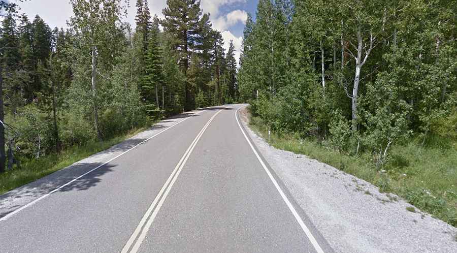
A scenic paved road to the summit of Yuba Pass in California
Yuba Pass is a high mountain pass at an elevation of 2,050m (6,725ft) above sea level, located in Sierra County, in the U.S. state of California.
Where is Yuba Pass?
The pass is located in the northeastern part of California, near the Nevada border, within the Tahoe National Forest. The summit has ample parking for visitors to get out of their vehicles and explore the area.
Is Yuba Pass paved?
The road to the summit is fully paved. It’s called State Route 49 (CA-49), also known as the Golden Chain Highway. The road is quite steep, with a 5% gradient on some sections.
How long is Yuba Pass?
The pass is 20.11 km (12.5 miles) long, running west-east from Bassetts to Sattley, formerly known as Church's Corners.
Is Yuba Pass open in winter?
Set high in the Northern Sierra Nevada mountain range, the pass is accessible year-round unless snow restrictions require closures during the winter months. Winter closures, implemented by gates, can occur between mile markers 16.4 and 23.7.
Is Yuba Pass worth the drive?
This is definitely one road trip you’ll want to capture with lots of photographs. The journey provides a spectacular scenic driving experience, following the North Fork of the Yuba River canyon. The views from the byway allow travelers to experience the vast ruggedness of the area.