Carson Pass in California: The Ultimate Road Trip Guide
Carson Pass is a high mountain pass at an elevation of 2,619m (8,592ft) above sea level, located in Alpine County, in the US state of California.
Where is Carson Pass?
The pass is located in the eastern part of California, not far from the Nevada border, within the El Dorado National Forest.
Is the road through Carson Pass in California paved?
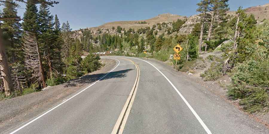
The road to the summit is fully paved and is known as California State Route 88, or Carson Pass Highway.
How long is Carson Pass?
The pass spans 22.53km (19.9 miles), running east-west from Alpine Village (in Alpine County) to Kirkwood (in Alpine and Amador counties). A parking lot at the pass fills up quickly on weekends.
Is Carson Pass open?
Situated high on the crest of the central Sierra Nevada range, the road is typically open all winter but may be subject to restrictions or short-term closure due to snow, including avalanches, or ice. Winter road closures are rare. Carson Pass is one of the highest auto passes in the Sierra Nevada. Temporary closures usually occur due to avalanche danger, particularly in two areas: the Carson Spur area between Silver Lake and Kirkwood, and the eastern side of Carson Pass. There are 22 different avalanche chutes between these areas that could deposit snow onto the roadway.
Is Carson Pass in California scenic?
Nestled high in California, the scenery is breathtaking, offering numerous excellent photo opportunities. The drive features scenic views, alpine lakes, and numerous places to pull off the highway and explore. Travelers can enjoy views of rugged volcanic skylines, verdant meadows, mountain lakes surrounded by forested slopes, adventurous rock valleys, and distant mountain peaks.