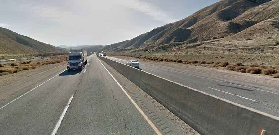
Driving the paved road to Tehachapi Pass in California
Tehachapi Pass is a mountain pass at an elevation of 1,241m (4,071ft) above sea level, located in Kern County, in the U.S. state of California.
Where is Tehachapi Pass?
The pass is located in the southern part of California, in the Tehachapi Mountains.
Is Tehachapi Pass road paved?
The road to the summit is completely paved. It’s called State Route 58, also known as Blue Star Memorial Highway. The asphalt is a little coarse but unbroken. The road was built in the 1930s. Expect heavy traffic.
How long is Tehachapi Pass?
The pass is 92.85km (57.7 miles) long running between Mojave, CA on the east and Bakersfield, CA on the west. Near the summit, there’s one of California's larger wind farms. The city of Tehachapi sits at the top of the pass. Expect some steep sections and heavy traffic.
Does Tehachapi Pass have snow?
Access to the pass is typically open all year round, but winter weather may cause restrictions and closures. Chains are sometimes required near Tehachapi between Bakersfield and Mojave.