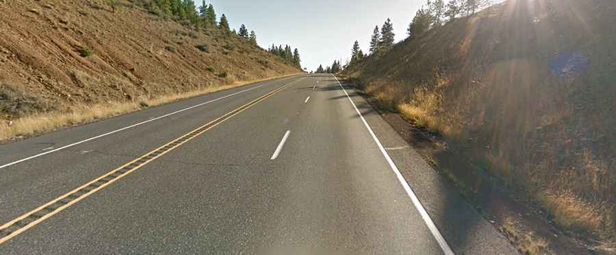
A paved road to Satus Pass in the Cascades
Satus Pass is a mountain pass at an elevation of 950m (3,116ft) above sea level, located in Klickitat County, in the U.S. state of Washington.
Where is Satus Pass?
The pass is located in the southern part of Washington, within the Yakama Indian Reservation.
Why was Satus Pass important?
Historically, Satus Pass was significant for Native American tribes, including the Yakama Nation, who utilized it as a traditional route for trade and travel between the Columbia River Basin and the interior plateau. The pass also played a role in the development of the region during the westward expansion in the 19th century, becoming an important route for settlers and pioneers.
Is the road to Satus Pass paved?
The road to the summit is fully paved. It’s called U.S. Route 97 (US 97).
Is the road to Satus Pass open?
Set high at the summit of the Simcoe Mountains, in the Cascades range, the pass is open to traffic throughout the year, may be closed for short periods from November 1 to April 1, when the weather is bad.
How long is Satus Pass?
The pass is 77.4km (48.1 miles) long, running from Toppenish (a city in Yakima County) to Goldendale (the county seat of Klickitat County, near the Columbia River Gorge).