How to drive the paved road to Warm Springs Summit in Nevada
Warm Springs Summit is a high mountain pass at an elevation of 1.916m (6,286ft) above sea level, located in Nye County, in the US State of Nevada.
Where is Warm Springs Summit?
The pass is located in the south-central part of Nevada.
Is Warm Springs Summit paved?
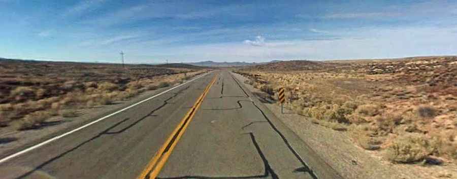
The pass is traversed by the U.S. Route 6 (US 6), an asphalted twisty, scenic high desert and mountain road. It marks the western end of a coast to coast highway extending a distance of 3652mi through 14 states.
How’s the road through Warm Springs Summit?
The two-lane road over the pass, also known as Grand Army of the Republic Highway, has mostly sweeping curves and dramatic changes in elevation. The traffic is usually light to moderate, and there’s a potential of loose range stock on the highway. All trucks carrying hazardous materials much register with the Nevada Department of Transportation.
How long is Warm Springs Summit?
The road through the pass is 47 miles long, running west-east from Tonopah (the county seat of Nye County) to Warm Springs.
Is Warm Springs Summit open?
Set high in the Kawich Range, the road is open year-round.